
Sherwood Neighbors Around One Address
Public information for a Sherwood block is split among map, property, recording, city, and election custodians. The City and County maps show tax-lot geometry and streets. The county assessment report supplies account-level owner and tax-mailing information. Recording can supply a requested land instrument. City permit, planning, or code material may be releasable by address. None of these sources is a complete list of your neighbors, and each has its own limits.
| Block source | What it shows about nearby parcels | Access and limit |
|---|---|---|
| City and County parcel maps | Tax-lot geometry, streets, city boundary, flood, park, and imagery context | Map browsing; maps do not identify residents |
| County assessment report | Owner of record, tax mailing address, account, sale, and property fields | Free guest access; legally suppressed data stays hidden |
| Washington County Recording | Recorded deed or instrument connection to a legal parcel | Lobby, counter, phone, or email copy channels |
| Sherwood city files | Address-linked permit, planning, or code material when releasable | ePermitting or public-records request; no complete online address file verified |
| Voter-list request | Lawfully released registration information or participation history | Statutory request, fees, exclusions, and no commercial use |
The Sherwood map catalog links city mapping resources and the county’s InterMap tools. Start there when the goal is to understand which parcels touch an address or lie across a right-of-way. The map identifies land relationships first; the assessment report is where owner-of-record details are checked.
Note: A tax-lot line is a land boundary, not evidence of a social relationship between people on either side of it.
Map a Sherwood Block to Identify Parcels
The county and City map layers support an adjacent-parcel method. InterMap can begin with a situs address, account or R number, or tax-lot ID. The City map service lists tax lots, street names, city boundary, flood zones, parks, and imagery. The research did not verify a buffer or radius tool, so keep the work to a visual selection of parcels touching the target or directly opposite it.
- Locate the verified address in InterMap and record its account or tax-lot identifier.
- Turn on the tax-lot and street layers, then pan to each polygon touching the parcel or across the right-of-way.
- Select each nearby parcel and use its account or tax lot in the county Assessment & Taxation report.
- For each result, note direction, street address, tax lot or account, owner of record, tax mailing address labeled as mailing only, sale or instrument reference, and source date.
- Use Recording for a requested source document when the sales row raises a land-history question.
The county property and InterMap guidance describes the reports available after a map location is selected. The property report distinguishes the situs from the tax mailing address and includes sales-related fields, but the county says its portal data should be verified against original records when precision matters.
For a complete named-street sequence instead of the immediate block, the Sherwood street directory follows the wider address-record trail.
Sherwood Neighbor Accounts Are Not Households
An assessment result names the party responsible for the tax account. It can also show a mailing address, legal description, map number, values, and sales history. It does not establish that the named owner lives at the site, and it does not identify every person who may be connected with the address. Treat the situs, mailing address, and legal description as three different fields with different purposes.
This distinction matters for Sherwood neighbors because an owner’s mailing address may be a post office box, estate contact, agent, business address, or another residence. The county guest portal can hide owner names or addresses when Oregon law requires suppression. City parcel layers are useful for physical context, but the City directs ownership questions to the county assessment source.
Record meaning. Owner of record describes a tax-account or land-record role. It is not a complete household roster, a current-contact list, or proof that anyone lives at the parcel.
Sherwood Address Files Add Limited Context
Sherwood’s Building Department uses Oregon ePermitting for an address-oriented process. A submitted project begins by selecting a work-site address, and the City advises using the first three letters of the street name when searching. Permit, planning, or code material may be relevant to the land or a public decision, but the published workflow does not promise a public person-search or a complete historic address index.
For existing city material, use the City’s public-records procedure or a focused WebDrawer search. A request should identify the address, date range, document type, and desired format. The City sends marriage, birth, death, divorce, and property-tax questions to county or state custodians, a boundary that prevents a misdirected request.
Oregon Business Xpress License Directory routes users to program-specific licensing sources.
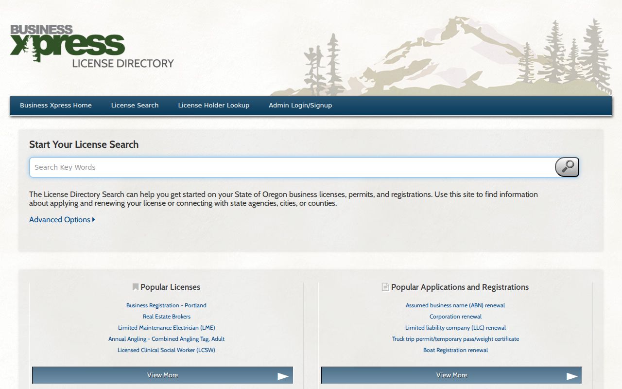
State license-directory routes are separate from city address records and cannot establish that a credential holder lives on a nearby parcel.
Note: A missing city search result does not show that no permit, planning, or code file exists for an address.
Sherwood Neighbors and Voter-List Limits
Oregon My Vote allows a voter to manage their own registration information with name and date of birth. It is not a public screen for browsing people on a Sherwood block. A requester who seeks a permissible geographic slice must use the voter-list request channel and ask Washington County Elections what its systems can produce, subject to the legal exclusions.
ORS 247.945 provides the legal request path for voter lists. The Secretary of State’s portal supports statewide or less-than-statewide electronic lists, while hard-copy or other non-electronic requests go to county election officials. The state describes exclusions for protected voters and sensitive registration data, and ORS 247.955 bars commercial use. Ballot choices are not public. No official online street-filtered voter screen was verified for Washington County.
The Washington County Elections Division is the local registration-record custodian and maintains historical election-results archives. Its official role does not convert those archives into a block directory.
Sherwood Community Names Need Context
Sherwood has public civic bodies and local organizations that can provide public meeting, history, and institutional research leads. The City lists boards and committees including its Parks and Recreation Board, Planning Commission, Budget Committee, Library Advisory Board, Police Advisory Board, and Youth Advisory Board. Public meeting documents may be available through WebDrawer, but the names of the bodies do not create a member directory.
| Publicly documented lead | What the source supports | What it does not support |
|---|---|---|
| City boards and committees | Civic body names, public meeting and governance research | Private member contact lists or a neighborhood roster |
| Old Town organizations | Public organization names, locations, event notices, or archival leads | Membership lists or a record of every nearby household |
| Arbor Lane Homeowners Association | Historical city-hearing evidence of an association in that context | Current boundaries, officers, members, or contact directory |
Old Town’s public directory names the Sherwood Heritage Center and Morback House Museum, Sherwood Historical Society, local lodges, American Legion Post 56, the Sherwood Area Chamber of Commerce, and faith or community organizations. Contact an organization directly for public meetings or research collections. The source set found no official city neighborhood-association inventory and no current association directory.
Compare Sources for Sherwood Neighbors
Official records identify the custodian, purpose, and limit of a fact. A county tax account can document an owner role. A City map can document parcel geography. A public city record can document a released address-related file. Commercial neighbor-search products may combine data from many sources, but they can be stale or blend people with similar names. They are not the evidentiary endpoint for a block question.
| Source type | Useful for | Important limit |
|---|---|---|
| County and City records | Source-specific parcel, map, instrument, or released city facts | Each record has a narrow purpose and may contain redactions |
| Commercial compiled data | A possible prompt to check an official custodian | May be wrong, outdated, or joined to the wrong person |
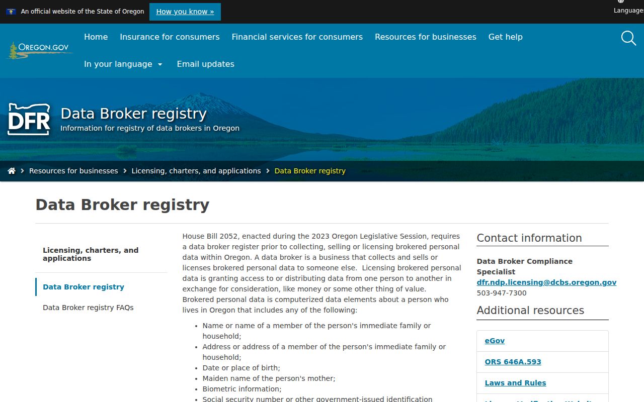
| State data-broker registry | State context about registered data brokers | It does not validate a record or correct the originating public file |
Oregon’s Data Broker Registry explains the state’s registered-broker context and the legal definition of brokered personal data.
Correct an inaccurate public source with the county, City, court, election office, or other original custodian, rather than relying only on downstream suppression.
Sherwood Neighbor Safety Sources Have Limits
A public-safety resource answers a specific safety or custody question. It is not a way to assemble information about your neighbors. Washington County’s custody search is a short-term booking and release resource with a reCAPTCHA, alphabetical last-name browsing, and a report that generally updates about every two hours. Its status does not establish a conviction or a complete history.
Oregon DOC VISOR accepts a full or partial individual-in-custody name or a known ID number and supports status notifications. The service says its data can change and is not an official record.
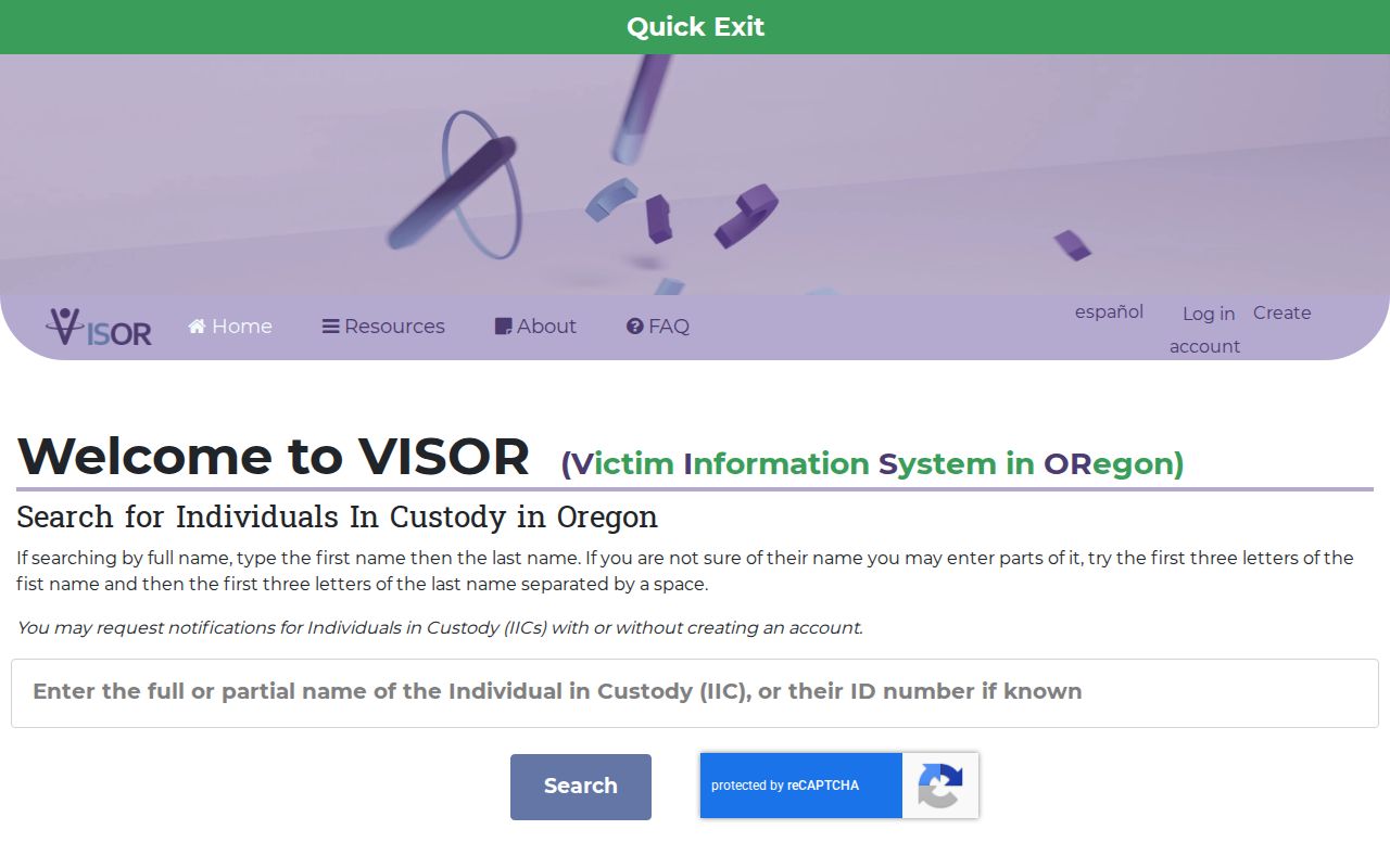
Use a custody result only for the limited status it reports, then verify any court question through the proper court record.
Oregon State Police offender-information guidance is another official safety entry point with its own rules and display criteria.
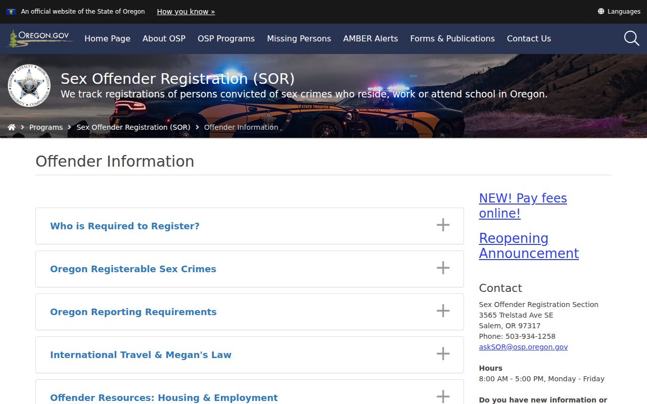
The research did not capture a current field inventory or address-radius procedure for that resource, so it should not be described as a general neighbor search.
Sherwood Neighbor Lookup Privacy Limits
Oregon law keeps important personal information out of public block research. The Address Confidentiality Program uses substitute addresses for eligible participants. Electors can seek residence-address protection under ORS 247.965, and protected voter information is excluded from released lists. Washington County suppresses names and addresses when required by law. Court, vital, utility, delivery, and DMV information have their own protections. A blank field can be intentional and must not be reverse-engineered.
Oregon’s anti-stalking and harassment laws reinforce the boundary. Do not use parcel, map, voter, records-request, or mailing data for repeated unwanted contact, intimidation, threats, harassment, or to reveal a protected location. If there is immediate danger, call 911. For a suspected court or jury-demand scam, use an independently found official court contact rather than replying to an unexpected call, text, or email.
Lawful use. Use Sherwood neighbor records for personal, lawful block research and civic curiosity. Do not use any result to stalk, threaten, harass, intimidate, or expose anyone’s protected location.