
Sherwood Previous Residents by Era
A backward address trail begins with the record that can actually span the period in question. County property detail supplies current parcel information and selected sale rows, but no fixed online history start was published. Recording holds original instruments but did not publish an online deed-index cutoff. Census, historic maps, directories, permits, obituaries, and probate files add different pieces. A source’s absence does not show that no one lived at an address. It can reflect incomplete coverage, a changed parcel, or material held only by a custodian or archive.
| Source | Years It Covers | Where Held | What It Shows |
|---|---|---|---|
| County property detail | Current portal with variable sale rows; start not published | Washington County guest property tools | Owner of record, map and legal data, values, selected sales |
| Recorded instruments | County documents; online start not published | Recording counter, lobby, phone, or email | Grantor, grantee, legal description, instrument and conveyance details |
| Survey and plat records | Individual filing or survey dates; no global start stated | County Survey Explorer | Tax-lot, road, section, and land-description continuity |
| Federal census | Public through 1950 under the 72-year release practice | Library, archives, or National Archives access | Household or address-vicinity detail at the census date |
| Territorial census | 1845 Tuality County listing identified | Oregon State Archives | Early county household and population context |
| Permits, maps, directories, and probate | Series dependent; Sherwood directory and map years unverified | City, library, archive, and circuit-court channels | Work, building context, possible household leads, or estate trail |
Start with the current parcel when the address is known. Move next to its sale row and the original document. For older time bands, use the legal description and historical place names to request or locate the right collection. This order is more reliable than jumping directly from a name to a presumed former residence.
Start Sherwood House History With Parcels
Washington County Public Access and InterMap provide the address-to-parcel bridge for Sherwood. Search InterMap by Situs Address, Account Number or R number, or Tax Lot ID. After selecting a result, open Additional Information and choose Assessment & Taxation Information. Preserve the current situs address, tax lot, account reference, map number, legal description, owner of record, tax mailing address, and each visible sales-history row.
These fields have different meanings. The situs address is the physical place on the map. The tax mailing address is where the tax statement is sent and can belong to the person responsible for it. The legal description or map number is the land key used in recorded documents and survey work. It is the vital link when a lot has changed or when an old street label does not match the current address. A sale row is an entry point to Recording, not a substitute for the deed.
Washington County Public Access shows owner names to guest users unless the name or address is legally suppressed. The county warns that the data can differ from original records, so use the corresponding instrument when the result matters.
Note: A tax-account mailing location is a correspondence clue, not automatic proof that a person lived at the property.
Sherwood Sale Records Before Deeds
A property-detail sales row may show a sale date, seller, buyer, instrument number, sale price, and instrument type. Copy those facts exactly before seeking the deed. Washington County Recording handles deeds, mortgages, contracts, tax liens, marriage records, and domestic partnerships. Its public pages did not expose a separate free grantor-grantee search form, document-image viewer, or a coverage year for an online index. The offline and counter channels are part of the research path, not a last resort.
Documents may be viewed free on lobby computers. Self-made prints cost fifty cents per page. Staff-made copies cost four dollars for the first page and twenty-five cents for each additional page; certified copies add three dollars and seventy-five cents to the staff-made charge. Phone and email requests must be prepaid. The county schedule listed a fifty-eight-dollar hourly Recording Research fee for fiscal year 2025–26. Confirm the current schedule before asking the office to research a document.
Washington County’s recording-document information identifies the office’s recorded-land role and current recording-fee notice.
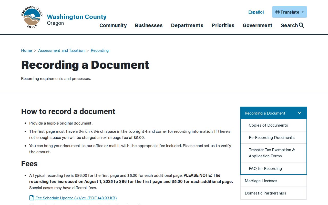
The fee notice is separate from the copy route, but it is a reminder to check the current county schedule before requesting an original instrument.
Trace Sherwood Previous Owners Through Deeds
The deed chain moves backward one conveyance at a time. Begin with the newest sale row, then ask Recording for the instrument identified by its number, date, parties, and legal description. The document can identify the earlier party relationship and land description needed for the next request. Carry the legal description through every step. Do not rely on a present street number alone because tax-lot splits, mergers, subdivision changes, or an address reassignment can break a simple address trail.
- Locate the present parcel through the county assessment tools and save the account, tax lot, map number, legal description, and latest sale-row details.
- Request or view the instrument connected to that sale row through the Recording lobby, counter, phone, or prepaid email route.
- Read the document’s grantor, grantee, legal description, and recording or instrument details. Preserve the prior party and land description.
- Use that prior relationship and legal description to request the earlier instrument. Repeat only while the document trail supports the connection.
- When a parcel identifier changes, consult the plat or survey record before treating two addresses as the same land.
- Grantor
- The party transferring an interest in a recorded land document.
- Grantee
- The party receiving the interest described in the instrument.
- Chain of title
- The sequence of recorded conveyances used to trace an interest in a parcel backward.
- Legal description
- The lot, block, subdivision, tax-lot, map, section, or similar land description that anchors the record trail.
Washington County does not publish a universal year at which its searchable deed index or images begin. State the document number that the record provides, then ask Recording about the exact document or earlier record. That is more accurate than presenting an invented online cutoff.
Sherwood Tax-Lot Changes and Plats
A split or merge field on the property detail is a signal to slow down. The current account may not be the historical parcel. Survey Explorer can search addresses, tax lots, surveys, plats, public-land corners, benchmarks, section maps, county roads, road dedications or vacations, and donation land claims. Its street research is valuable when the legal description, road number, or plat tells a clearer story than the current address.
Survey Explorer also supports survey number, county-road number, surveyor, date range, town or range, section, quarter section, city, client, and business searches. The official instructions use particular formats for fractional or A roads. Retain a plat, map number, and legal description with the tax-lot record so the land relationship can be checked rather than assumed.
Smockville Names in Sherwood Records
Research for past residents needs the names used when the record was created. The town was known as Smockville before Sherwood incorporated in 1893. J. C. Smock and Mary Ellen Sebastion planned and named streets around the railroad in 1889. Early county material may appear under Tuality, the historical name used by the Oregon State Archives for its 1845 census listing. Search Sherwood, Smockville, Tuality, Washington County, and Old Town when a modern-name search comes up blank.
There is another important house-history distinction. The City reports that an 1896 fire razed most of the business district and that a 1911 fire led the council to urge fireproof construction. A deed trail can therefore predate the existing building. Historic maps, permits, surveys, and property research should be used to separate land continuity from the history of a structure. Exact Sherwood Sanborn years were not verified, so ask a librarian or archive before claiming coverage.
Directory titles, publishers, reverse-directory runs, and digitized Sherwood volumes were not confirmed in the research. Ask Sherwood Public Library or WCCLS staff to search city, telephone, reverse, and Washington County subject headings. The available collections and inquiry route are described in the Sherwood Directory Book.
Note: A historical name variant can be the missing key to a catalog or archive result, even when the present address is known.
Sherwood Past Residents in Context
After the parcel trail is documented, pair an available directory or census entry with the date it represents. A confirmed directory can associate a name with an address or a street section, depending on its layout, but the Sherwood year run has not been verified. Federal census material is public through 1950 under the 72-year release practice. It can identify a household or address vicinity at the census date, not an annual sequence or a current household.
Use a simple sequence: legal parcel and sale row, recorded deed, confirmed directory year if one is located, federal census band, then permit, obituary, or probate lead as appropriate. A blank year may reflect geographic coverage, publication timing, rural-route treatment, or indexing practice. It is not proof that a household was absent. Oregon State Archives research service accepts a name, event date, city, and county and can advise on historical vital or county-record series.
A county marriage license is a local Recording record, while an Oregon certified vital record has separate access rules. Recent birth records are restricted for 100 years, and death, marriage, divorce, dissolution, and domestic-partnership records are restricted for 50 years unless the applicant proves eligibility. Those documents can establish an event within their rules; they do not create a past-resident directory.
Washington County’s online marriage application shows the county’s direct application route for a marriage license.
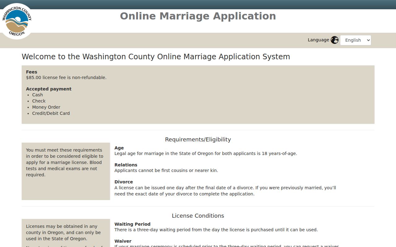
The application route concerns a regulated county record and should not be used to infer a person’s address history.
Close Sherwood Trails With Estate Records
When a property owner has died, probate or estate material can identify a decedent, personal representative, heirs, addresses appearing in a public file, or a property-succession lead. Search Washington County Circuit Court material through Oregon Judicial Department records services, retain the case number and court, and use the public terminal or clerk copy channel when an online result is incomplete. Court documents and confidential case types have access controls. A probate file is one piece of the trail, not proof of every relationship or address.
Obituaries, cemetery records, and historic-vital research can help identify an event date or locality before a probate search. State Archives research and the county historical-records guide are useful routes when an index is absent. Historic research should keep the event, the legal record, and the address evidence separate instead of treating any one source as conclusive.
Oregon Judicial Department scam alerts include its April 2026 warning about texts that imitate court notices.
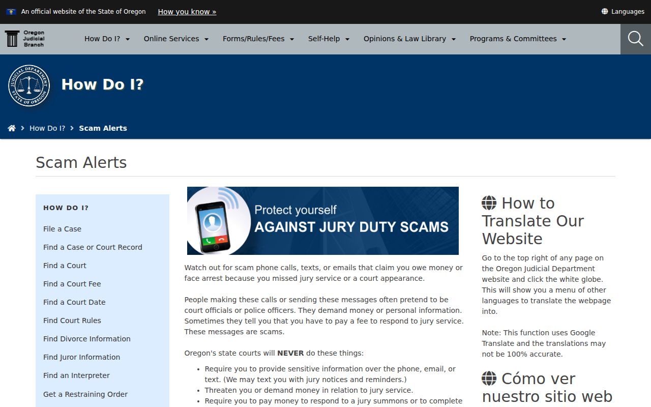
Use official court channels for a case question and do not respond to messages that demand money or sensitive information for jury service.
Sherwood Previous Residents Record Limits
Business and custody material sometimes appears during a name search, but neither is a house-history source. An Oregon Business Registry entry can show an entity’s registry number, type, date, registered agent, business mailing address, and associated names. That mailing address may be commercial and does not establish a person’s residence. Washington County’s custody search reports current custody information, charges, and security or bail context. It is a short-term status record, not a conviction finding or proof of a past address.
Oregon’s Business Registry is the official route for entity and registry-number information.
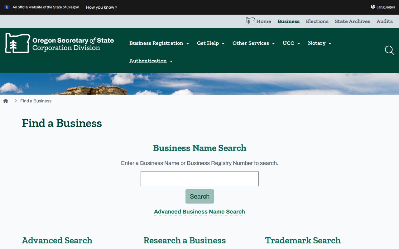
Registry data can clarify an entity connection, but it should remain separate from the parcel and deed trail.
Washington County custody and release information describes its current jail search and release reports.
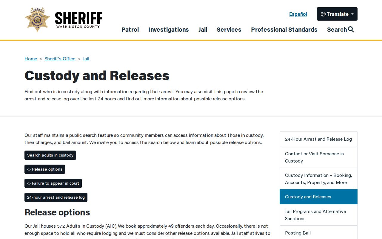
A current booking result should be cross-checked with the applicable court register and never repurposed as an address-history conclusion.
Lawful use. Sherwood previous-resident research is appropriate for house history, family history, estate matters, and personal curiosity. Do not use public records to stalk, harass, track, or harm a living person.