
Sherwood Postal Coverage: What Is Verified
Official City addresses, the City Hall and Library address, and Oregon Blue Book context establish one ZIP serving Sherwood: 97140. The source set did not document a second Sherwood ZIP, a separate box-only code, a unique-institution code, or a postal split. For that reason, this Sherwood ZIP code directory presents only the documented code and does not turn a missing source into a boundary map or a list of delivery areas.
City and library pages consistently use 97140 for their own Sherwood address, and Oregon Blue Book identifies Sherwood as an incorporated Washington County city. Those sources establish the code's use in Sherwood, not the route-by-route edge of its postal service. A mailing label remains one fact about an address. City jurisdiction and county assessment geography have to be checked in their own records.
| ZIP | Official places observed | Post-office designation | What the evidence does not establish |
|---|---|---|---|
| 97140 | Sherwood city addresses, including the City Hall and Library address | Sherwood, Oregon | Exact postal boundary lines, other local ZIPs, a box-only ZIP, a unique ZIP, or a prior realignment |
The code is a verified mail clue. It is not proof that every address with that label lies within the current City of Sherwood jurisdiction.
Sherwood's Only Documented ZIP Code
97140 is the only Sherwood postal code supported by the official and local materials reviewed. The research did not capture a live USPS ZIP Lookup result or an official delivery-boundary map, so no outer edge of 97140, service-window boundary, or ZIP assignment for a particular side street is asserted here. A postal question should be checked against a live USPS address result at the time it matters, especially when the address is close to expanding or unincorporated areas.
Keep the claim narrow. Only 97140 is verified here; postal boundaries, additional ZIP categories, and past changes require a current USPS check.
That limitation also avoids a common research mistake: a city name in a mailing address may be useful for delivery, while the legal parcel and municipal jurisdiction must be checked elsewhere.
Find a Sherwood ZIP Code with Three Official Checks
There is no verified ZIP-wide local resident or owner screen for Sherwood. The dependable workflow begins with one exact address and moves through three separate official functions. First confirm its current mail ZIP through USPS. Next, use the City Interactive Map's City Boundary layer to test municipal jurisdiction. Then search county property tools by the physical address or parcel identifier. Each step has a narrower purpose than a ZIP-wide people list, and each prevents a different kind of mistaken conclusion.
- Enter the complete address in USPS ZIP Lookup to verify its current mailing ZIP.
- Open the City of Sherwood map catalog and check the City Boundary layer for the municipal question.
- Use Washington County InterMap by situs address, account or R number, or tax lot ID for the parcel question.
- Read the county result's situs address, mailing address, and legal description as separate fields.
- For a confirmed street-level parcel trail, continue to the Sherwood street directory workflow rather than treating the ZIP as a parcel filter.
This order is especially useful when the postal city label and City of Sherwood boundary do not answer the same question.
The City map supplies tax-lot, city-boundary, street-name, flood-zone, park, and imagery layers. InterMap supplies the county property and tax-lot connection. The City cautions that its mapping material comes from different formats and standards and is not a survey or legal title certificate. Use the layers to identify which record keeper to consult, then preserve the parcel's account and legal description with the address in the research notes.
Which Sherwood Tools Accept a ZIP Code
Washington County's guest property page does not publish a separate ZIP filter. InterMap publishes situs address, account or R number, and tax lot ID as its search keys. Sherwood ePermitting is also work-site-address based, and the City Interactive Map is based on maps, addresses, and layers. The Oregon Medical Board supplies a contrasting official example of a searchable field set that does accept a city or five-digit ZIP, but it is a program-specific license lookup, not a Sherwood resident directory.
This difference is a useful guardrail when comparing search screens. A city or postal field in one state program does not establish that the county parcel tools offer the same filter. For a Sherwood parcel question, begin with the actual address and follow the county's published identifiers. For a postal question, verify the address separately. Do not substitute a program-specific location field for either local workflow.
| Oregon Medical Board mode | Published input or result use |
|---|---|
| By name | Last name and first name search mode. |
| By license or registration number | Identifier-based search mode. |
| By specialty and location | Specialty is required; enter a city or five-digit ZIP and select a distance. |
| County property and InterMap | Use physical-address, account, or tax-lot keys instead of claiming a ZIP filter. |
The Oregon Medical Board search is the verified official ZIP-capable example from the research.
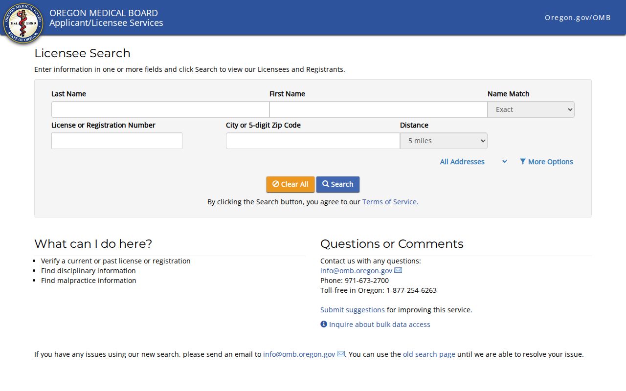
The distinction matters: a ZIP field can narrow a specific state program's search without creating a ZIP-based directory of Sherwood residents.
Sherwood Parcel Research Does Not Start with a ZIP Code
For a Sherwood property question, Washington County's guest property search and InterMap are the appropriate county tools after the physical address is known. InterMap ties a situs address, account or R number, or tax lot ID to general property, sales or deed, assessed-value, and improvement reports. The property detail separates the physical situs from the tax-statement mailing address and the legal description. None of those fields is a complete list of people connected to a parcel, and a county result should be verified against the original record when needed.
County detail can include an account or R reference, map number, legal description, property-use information, values by tax year, and sale-history rows with buyer, seller, instrument number, date, price, and instrument type. The portal says its data are compiled from multiple sources, can change without notice, and may differ from original records. That is why an instrument number should lead to the county Recording copy route when the original document, rather than the assessment summary, is needed.
The Washington County Assessment and Taxation page is the official county starting point.
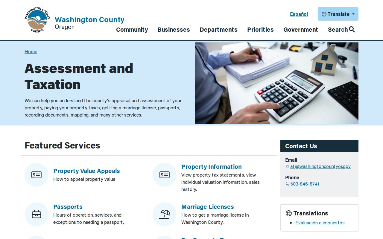
The county service leads from a property key to parcel records, which is why the address must be narrowed before the tax-lot trail begins.
Election records are a different channel. My Vote is for a person's own registration, while a voter list requires the statutory request path, is limited by system capability, and excludes protected information. No Washington County ZIP-browse screen was verified. The Washington County Elections page identifies the local elections custodian and its record services.
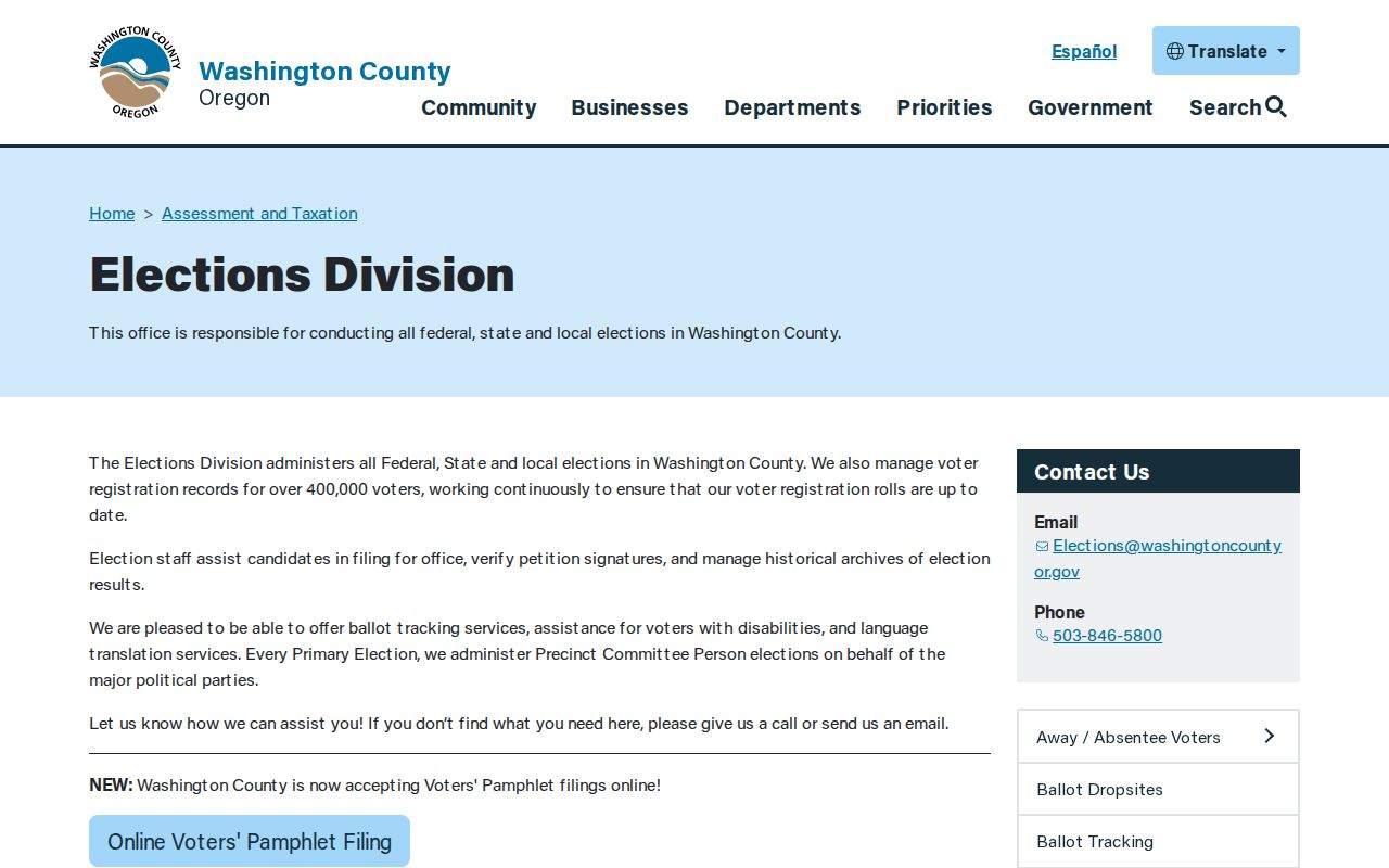
Use the elections office to clarify a permissible request and the available geography, not to infer that an online ZIP screen lists Sherwood residents.
Sherwood West and Postal Geography
City geography is changing around Sherwood West. The City reports that Metro approved inclusion of all Sherwood West in the urban growth boundary in 2025, with planning and annexation-related work continuing in 2026. The area is west of current city limits between SW Lebeau Road to the north and SW Chapman Road to the south. This is a reason to check the City Boundary layer and the county parcel jurisdiction for an address near that area, not a basis for drawing a new postal line or assigning an unverified ZIP.
The Sherwood West planning page provides the City context for this boundary check.
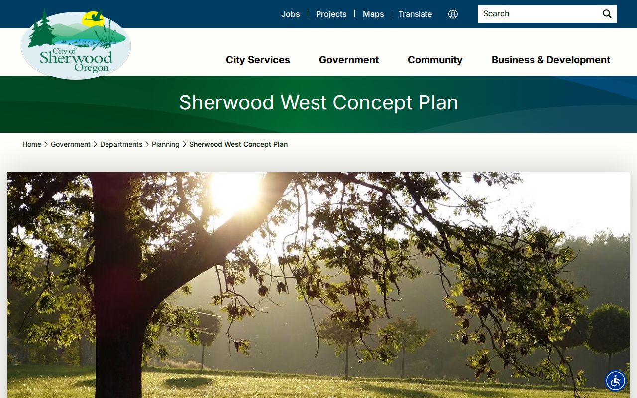
As City planning changes, an address can require separate postal, municipal, and parcel checks even when its mailing city continues to say Sherwood.
Sherwood History Predates Modern Postal Codes
Postal codes are modern mailing clues and do not organize older Sherwood research. Farmers settled the area by the 1850s, J. C. Smock granted railroad right-of-way in 1885, and Smock and Mary Ellen Sebastion planned streets around the railroad in 1889. The town was known as Smockville before Sherwood incorporated in 1893. For early maps, censuses, plats, or local-history material, search Sherwood and Smockville, and use Tuality as an older Washington County term. Retain a legal description or tax-lot connection when a historic address is uncertain.
Sherwood ZIP Code Labels and the City-Limit Test
A postal ZIP, a City of Sherwood boundary, and a Washington County tax parcel are three different geographies. The City Interactive Map's City Boundary layer addresses municipal location. County parcel tools address the land and assessment record. USPS answers delivery addressing. A Sherwood mailing label does not settle the other two questions, and the reviewed sources do not draw an exact 97140 boundary. For a time-sensitive address question, repeat the three official checks rather than relying on a static ZIP assertion.
- ZIP versus ZIP+4
- A five-digit ZIP identifies a postal delivery area; ZIP+4 adds a more specific delivery segment. No Sherwood ZIP+4 pattern was verified in the research.
- PO-box ZIP
- A ZIP assigned for post-office box delivery. The research did not verify a separate Sherwood example.
- Unique ZIP
- A code assigned solely to one institution or organization. No unique Sherwood ZIP was documented.
- Carrier route
- A postal delivery grouping used for mail operations. It is not a city boundary or a county parcel boundary.