
Trace a Sherwood Street Directory
A street-by-street search works best as a parcel trail. Washington County connects a physical address to an assessment account, tax lot, map number, legal description, sales row, and owner of record. Those details make it possible to move from a Sherwood street location to the records that describe the land. They do not establish that every person connected with an address lives there now. Begin with the physical address and save the parcel identifiers before comparing names or dates.
Use the same method for each parcel along a segment. Street numbers are helpful for finding a place, but they are not the durable key for older land research. A lot can split or merge, and the recorded legal description can persist even when an address changes. The most reliable chain keeps the situs address, account or R number, tax lot, map number, and legal description together.
- Enter the physical address in InterMap as a Situs Address. If it fails, use an Account Number, R number, or Tax Lot ID.
- Select the mapped parcel and open Additional Information, then Assessment & Taxation Information. Record the tax lot, map number, legal description, and sales-history row.
- Use the seller, buyer, instrument number, and date from the sales row to ask Washington County Recording for the matching land document.
- Keep the legal description while moving backward through prior parties. It is more stable than a street label when parcels change.
- For a permitted voter-list question, use the statutory request channel rather than treating My Vote as a public street browser. A confirmed historic directory run requires a library inquiry.
Note: A result identifies a public land-record connection, not a complete or current list of people at a Sherwood address.
Sherwood Street Directory Search Fields
The county’s guest Property Search has one unlabeled text box and does not publish a formal field guide or history cutoff. InterMap is clearer about its usable identifiers. It supports a physical situs address, assessment account or R number, and tax lot ID. After a result is selected, the Assessment & Taxation subreport supplies property, sales or deed, assessed-value, and improvement material. The guest display hides names and addresses that are legally suppressed.
| Assessor/property search field | Type | Required | Format / result use |
|---|---|---|---|
| Property Search, guest portal | Single text input | Search text required | Official input rules are not published. |
| Situs Address | Address search | Alternative lookup key | Physical property address. |
| Account Number or R number | Text ID | Alternative lookup key | County assessment account reference. |
| Tax Lot ID | Text ID | Alternative lookup key | Parcel and legal-map reference. |
| Assessment & Taxation Information | Link or panel | After map selection | Property, sales/deed, assessed value, and improvement content. |
The county property-report guidance describes the InterMap route and the report categories. Use it to translate a street address into a parcel record, then verify a key transaction with the underlying recorded document. Assessment data is compiled from multiple sources and can differ from original records.
A visible property card can include an owner name, property address, additional addresses, legal description, map number, tax districts, values by year, related-property fields, split or merge fields, and sale history. A sale row may show sale date, seller, buyer, instrument number, price, and instrument type. It is useful evidence of an assessment record, not a final title determination or a household roster.
Washington County’s property-report page illustrates the address-to-report route used in a Sherwood street directory search.
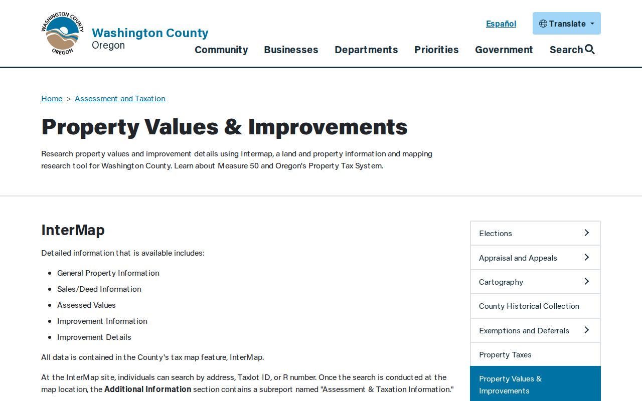
The report path makes the handoff from a street address to the tax account and sale information easier to document.
Map a Sherwood Street Segment
County InterMap and the City of Sherwood Interactive Map answer related but different questions. InterMap connects a location to assessment and tax-lot material. The city viewer provides tax lots, street names, city boundary, FEMA flood zone, parks, and imagery. Turn on the street-name and tax-lot layers, select the target parcel, then pan to adjoining polygons. Record each parcel identifier before retrieving the county assessment report.
No reviewed city source documents a public radius or buffer filter for people or parcels. Map browsing is the supported method. The City cautions that infrastructure documents come from varying formats and standards, so the map should be checked against source records or field information when accuracy matters. The City Boundary layer is especially helpful near the edge of Sherwood because a mailing place name does not by itself settle municipal jurisdiction.
Washington County’s GIS hub introduces InterMap and Survey Explorer as separate tools for map and land-record research.
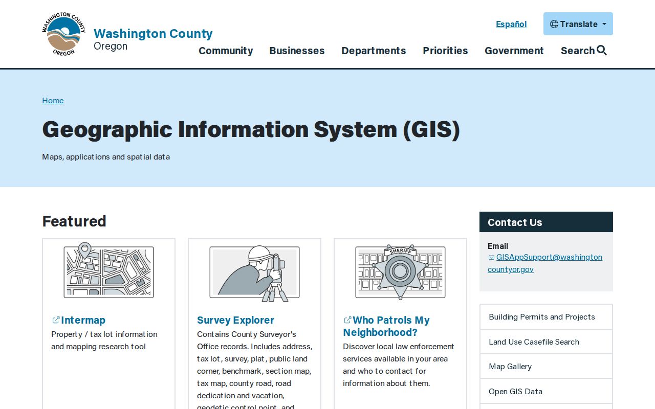
Use the county map context to locate the parcel, then retain the identifiers needed for the assessment or survey record.
Sherwood Records Tied to Addresses
Several custodians hold address-linked information, but their records have different purposes. The assessment roll provides an owner of record and tax-account detail. Recording holds original instruments. The City map supplies municipal layers, and city permit or planning material can document releasable work at a site. Survey and plat records help resolve the land description behind the address. Combining them creates a well-supported street directory trail without claiming more than each source can show.
| Address record set | Keeper | What it shows | Access / limits |
|---|---|---|---|
| Property detail and tax roll | Washington County Assessment & Taxation | Owner of record, map and legal fields, values, sale history | Free guest portal or InterMap report; suppressed data withheld. |
| Recorded instrument | Washington County Recording | Original deed, mortgage, contract, lien, or land document | Lobby computer, counter, phone, or email; copy and certification charges apply. |
| Survey or plat | County Surveyor | Tax-lot, road, corner, and subdivision context | Survey Explorer and survey office; preserve legal description. |
| City map layer | City of Sherwood | Tax lots, streets, boundary, flood, parks, imagery | Interactive map viewer; map accuracy is not guaranteed. |
| Permit or planning record | City of Sherwood | Releasable site work and land-use context | ePermitting or focused records request; historic online coverage not published. |
The chain is deliberate: the street takes you to a parcel, the parcel supplies an account and legal description, and the sales row supplies an instrument number. That instrument number gives Recording a specific document to locate. A broad person-name search is not a substitute for this address-led route.
Sherwood Address Permit Records
Sherwood’s paperless permitting process is work-site oriented. Applicants search and select the work-site address, then enter project and owner-contact information and submit the materials required for the permit type. Permit status can be tracked after entry. A releasable permit can help date construction, remodeling, mechanical work, plumbing, inspections, or an applicant connection to a parcel. It does not establish a sale date or a complete resident history.
Historic online coverage was not published in the sources reviewed. When the public interface does not expose the needed older file, send a focused City public-records request for an existing releasable permit, planning, or code record. The City directs property-tax questions to Washington County, so county parcel records and city work-site files should not be sent to the wrong custodian.
Sherwood’s ePermitting instructions show the work-site address step used for current permit activity.
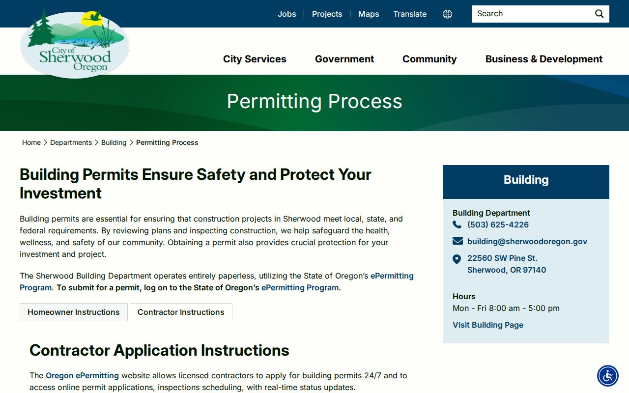
That address-first workflow supports a parcel history, but it should be paired with the county land record for ownership or deed questions.
Note: A missing online permit entry does not prove that no work occurred or that no relevant city file exists.
Follow Sherwood Sales Records to Recording
Washington County Recording keeps deeds, mortgages, contracts, tax liens, marriage records, and domestic partnerships. The county property card can give a date, buyer, seller, and instrument number from a sale row. Use those details to ask for the matching original instrument. The county did not publish a free online grantor-grantee form, a document-image viewer, or an online coverage date. Do not invent an index cutoff or assume that a web sale row is the deed itself.
Documents can be viewed free on lobby computers. Self-made prints cost fifty cents per page. Staff-made copies cost four dollars for the first page and twenty-five cents for each additional page, while certified copies add three dollars and seventy-five cents to the staff-made charge. Phone and email requests must be prepaid. The county schedule listed a fifty-eight-dollar hourly Recording Research fee for fiscal year 2025–26, so confirm current charges before ordering research.
Recording’s copy-options page sets out the lobby, counter, phone, and email channels for original documents.
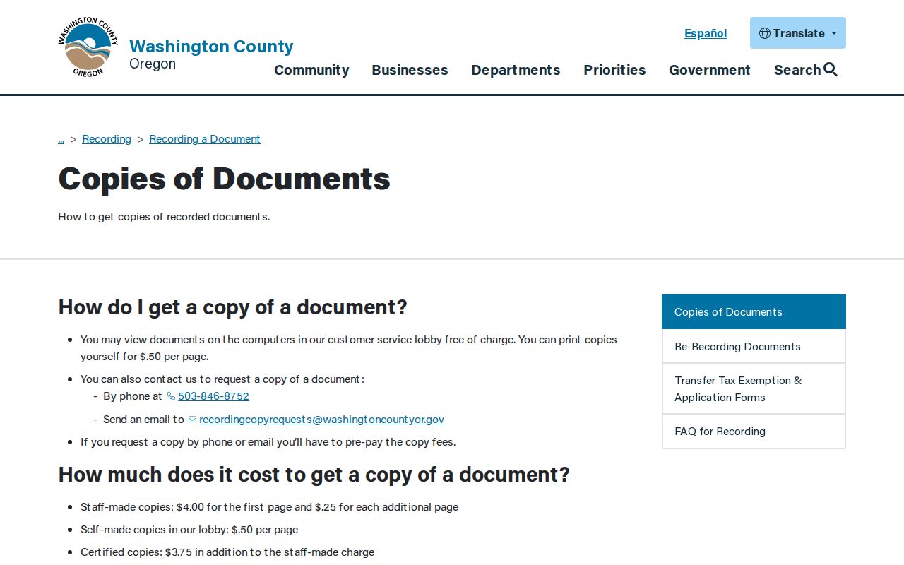
The original instrument is the verification step after a Sherwood assessment report supplies a sale-row reference.
Survey Records and Sherwood Streets
Survey Explorer reaches address-history material that the property search may not show. It searches addresses, tax lots, surveys, plats, public land corners, benchmarks, section maps, county roads, road dedications or vacations, geodetic control points, and donation land claims. Its fields include survey number, county road number, surveyor, filed or surveyed date ranges, town or range, section, quarter section, city, client, and business. The tool notes that positional accuracy is not warranted.
- Parcel
- A defined piece of land represented in county tax and map systems, often connected to an account or tax lot.
- Situs address
- The physical property address used by InterMap to locate the parcel.
- Plat
- A recorded map that can show a subdivision, lots, roads, or other land-division context.
- Criss-cross directory
- A historical reverse directory that may organize entries by address, if a library confirms a volume for the relevant area and year.
Road-number searches may require normalized forms. The county gives examples such as leading zeros for road 1, a hyphenated form for fractions, and special forms for A or market roads. A historic street directory search can therefore need a road number or plat as well as the modern street name.
Washington County Survey Explorer is the official route for the survey, plat, and road records behind a parcel.
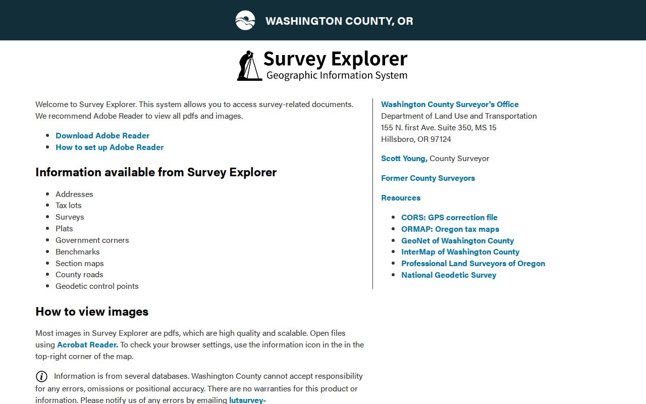
Survey results help preserve legal-description continuity when an address alone is too weak for the record trail.
Sherwood Street Voter List Rules
Voter information follows a statutory route, not a property-map filter. Oregon My Vote allows a voter to check or update their own registration information using a name and date of birth. It cannot be used to browse a Sherwood street. A requester seeking a permissible area or street-related list must use the Oregon voter-list request channel or ask Washington County Elections what geography and fields it can produce under ORS 247.945.
The Secretary of State provides electronic statewide and less-than-statewide request options. The current page lists a $500 statewide list and a $25 setup charge plus 2.5 cents per 100 records for a smaller list, with an estimated ten-business-day delivery period. Hard-copy, label, and other non-electronic requests for a smaller area go to the applicable county election official. Protected voters and nonpublic data are excluded, and ORS 247.955 bars commercial use.
Note: A voter-list result can support a limited registration fact, but it does not establish a complete household or disclose ballot choices.
Sherwood Street Directory Limits
Ownership is not occupancy. Assessment files can show an owner of record, a tax mailing address, and the person responsible for the tax statement. The mailing location may be a business, post-office box, estate contact, agent, or another residence. A recorded deed documents a transaction, not the people who stayed at the property afterward. Permits also have a narrow purpose and do not supply an ongoing household list.
Oregon protects some addresses and voter information. My Vote lets a person check their own registration with name and date of birth; it is not a public directory for a Sherwood street. A voter list is available only through the request process under ORS 247.945, subject to protected-voter exclusions and the commercial-use restriction in ORS 247.955. The reviewed sources did not identify a public online screen for browsing voters on one street. Private utility, delivery, subscription, and DMV address data are not public street-search tools.
Lawful use. Sherwood address records support personal, lawful research and property history. Do not use them to stalk, harass, intimidate, or harm anyone.
Historic Sherwood Street Names
Early records can use a different place name. J. C. Smock and Mary Ellen Sebastion planned and named streets around the railroad in 1889, when the town was known as Smockville. Sherwood incorporated in 1893. For older catalog, archive, census, map, or survey searches, try Sherwood and Smockville together. For the county’s earliest material, also use Tuality, the historical name the State Archives applies to the 1845 census listing.
Sherwood’s development code favors historical names where practical, including original donation-land-claim holders, early settlers, heirs, long-time residents, explorers, and Washington County tribes. That context can explain recurring historic names and spelling variants. No official source located a citywide renumbering year, grid origin, or a definitive address-assignment rule. Confirm a particular historical street change with City Planning, Public Works, or county GIS instead of assuming it occurred.
The records behind historic reverse or numerical directories have not been verified as a Sherwood online collection. Ask the library to check city, telephone, reverse, and Washington County subject headings. Confirmed historical volumes are covered through the Sherwood Directory Book.
Note: Older Smockville and Tuality search terms can reveal a catalog record that a modern Sherwood-only query misses.